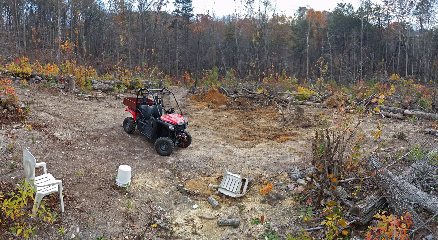
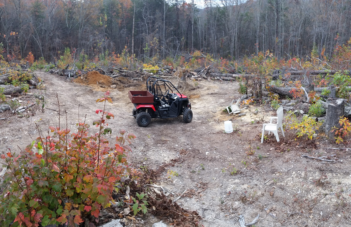
Site clearing is now well underway with a backhoe rental. Most of the site is now cleared and a new, more drive-able, road is in place to get to the site. Lots of clean up and grading to do but we’re getting there.
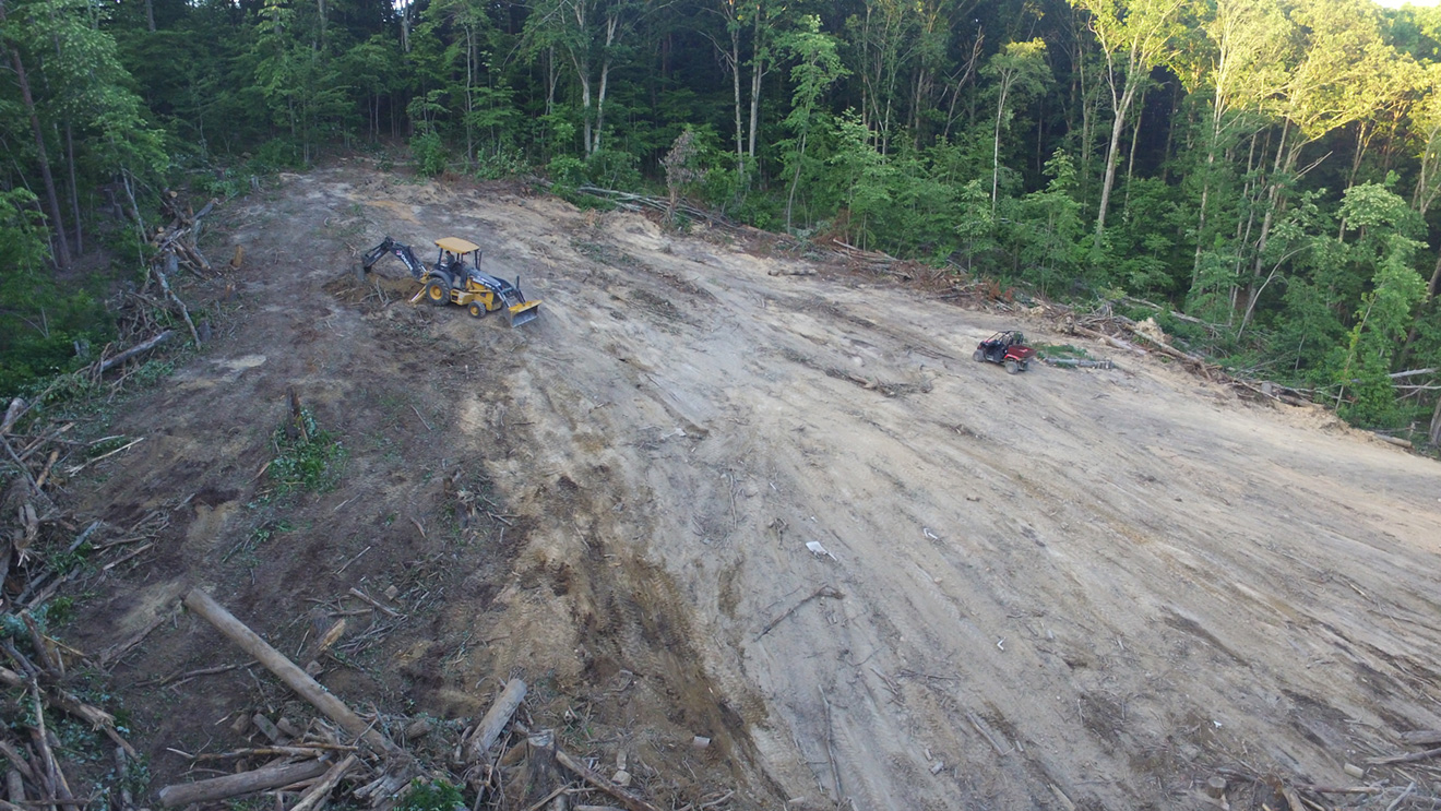
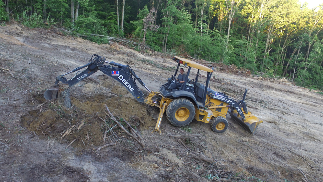
Site clearing is now well underway with a backhoe rental. Most of the site is now cleared and a new, more drive-able, road is in place to get to the site. Lots of clean up and grading to do but we’re getting there.
We’re coming up on the end of 2015. I had high hopes of getting more finished this year but all things considered, things are moving along. It shouldn’t be too long and our new garage with workshop will be finished which will allow me to layout imaging systems somewhere other than in our bedrooms…. From there, I hope to get the Exploradome up and running in 2016 with the OGS 10″ RC and U16 acting as the workhorse imaging system.

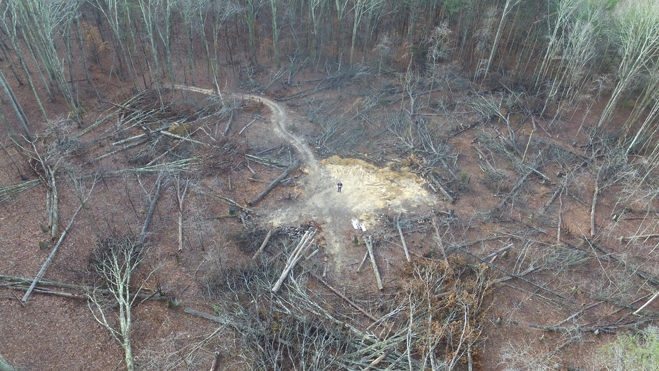

Observatory site prep is still moving along slowly. Pulling stumps is a long process but I’m getting there. At least the summer heat is behind me but the limited daylight is making it hard to get much done on the weekdays.
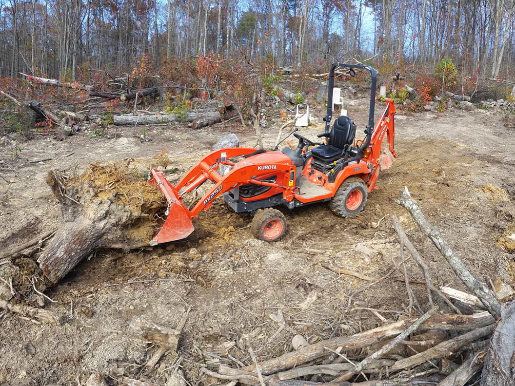
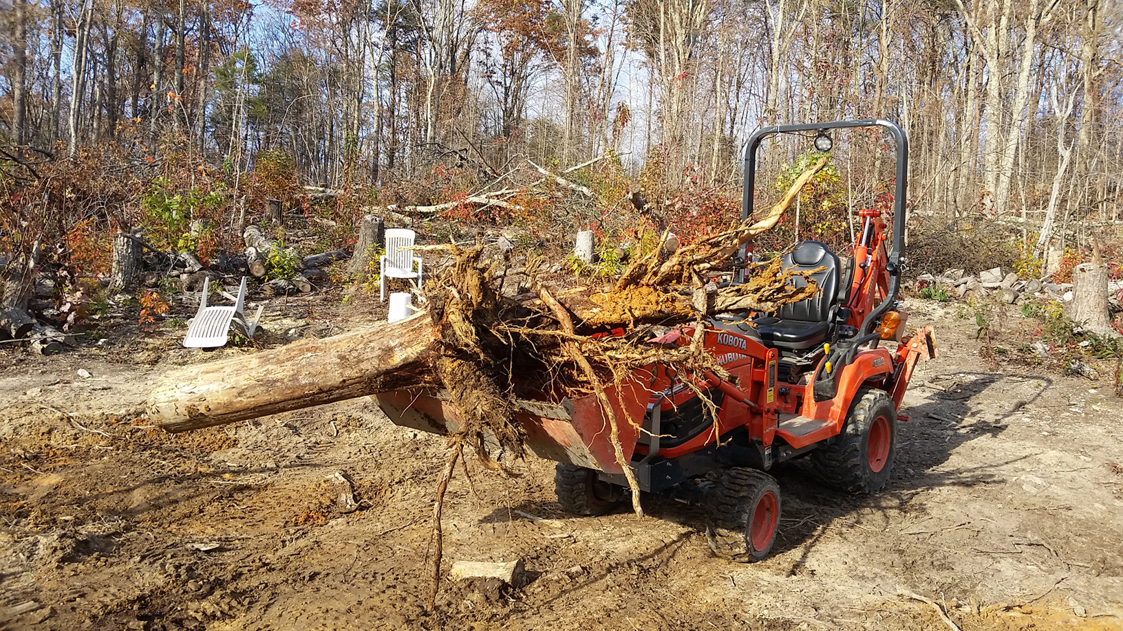
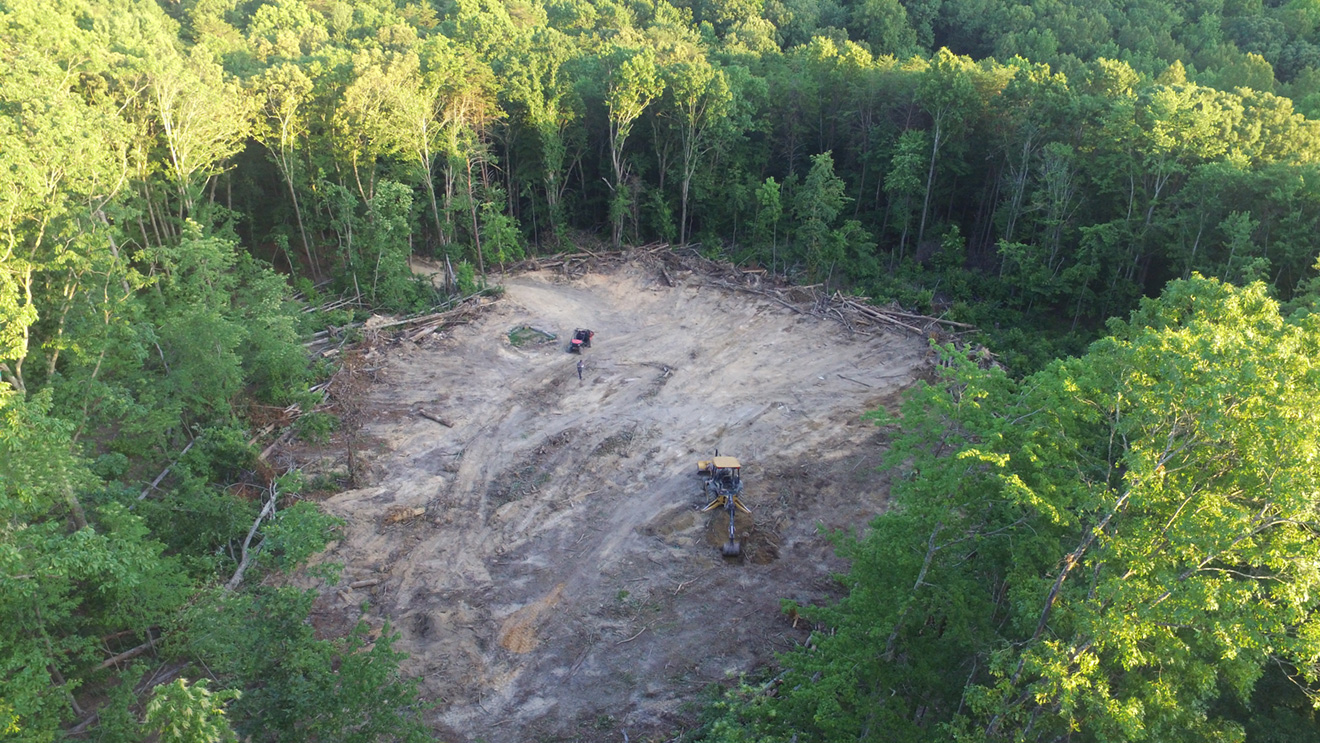
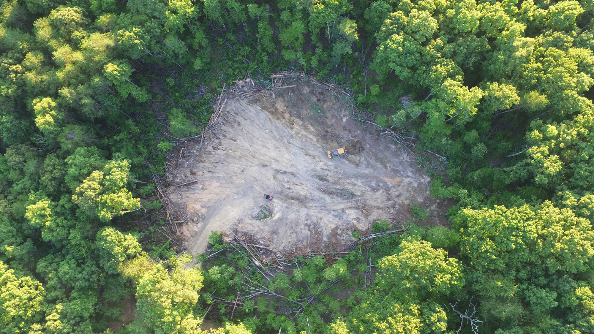
Here’s what the site is looking like. Starting to look a little more open.

I am starting to pack up Campmeeting Observatory in preparation for a move to Knoxville, TN. It has only been a short 3 years that Campmeeting Observatory has been in operation but I am sure it will find a new home. For the time being, updates will be seldom as other priorities will take center stage and extensive observatory site preparation may be required.
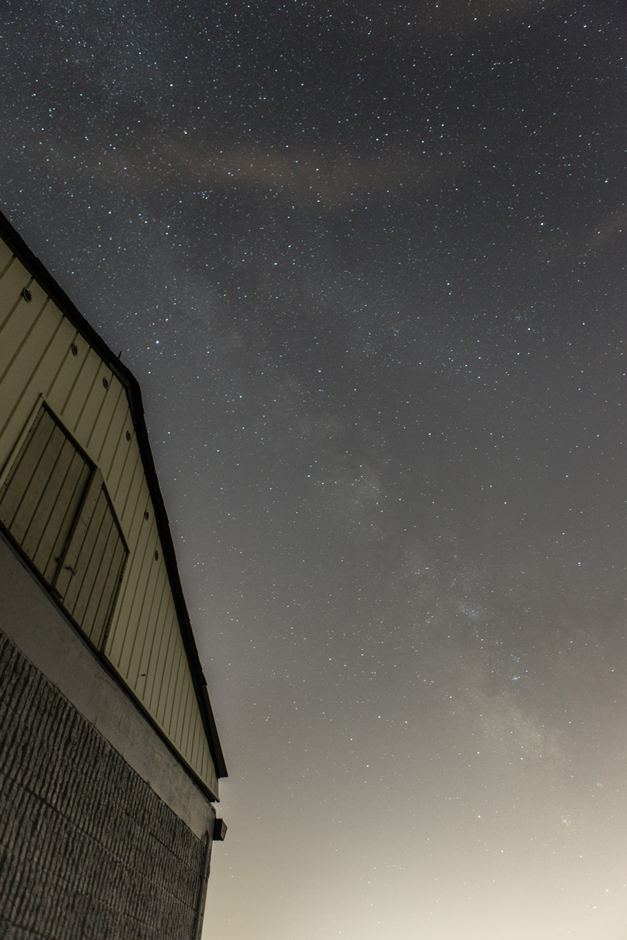
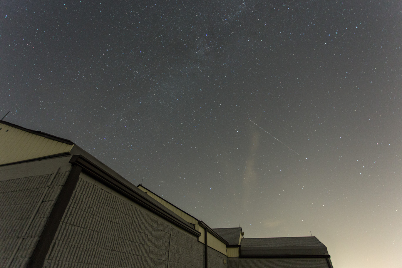
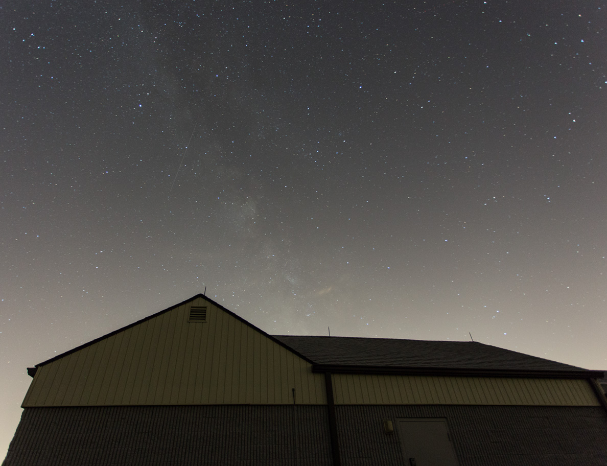
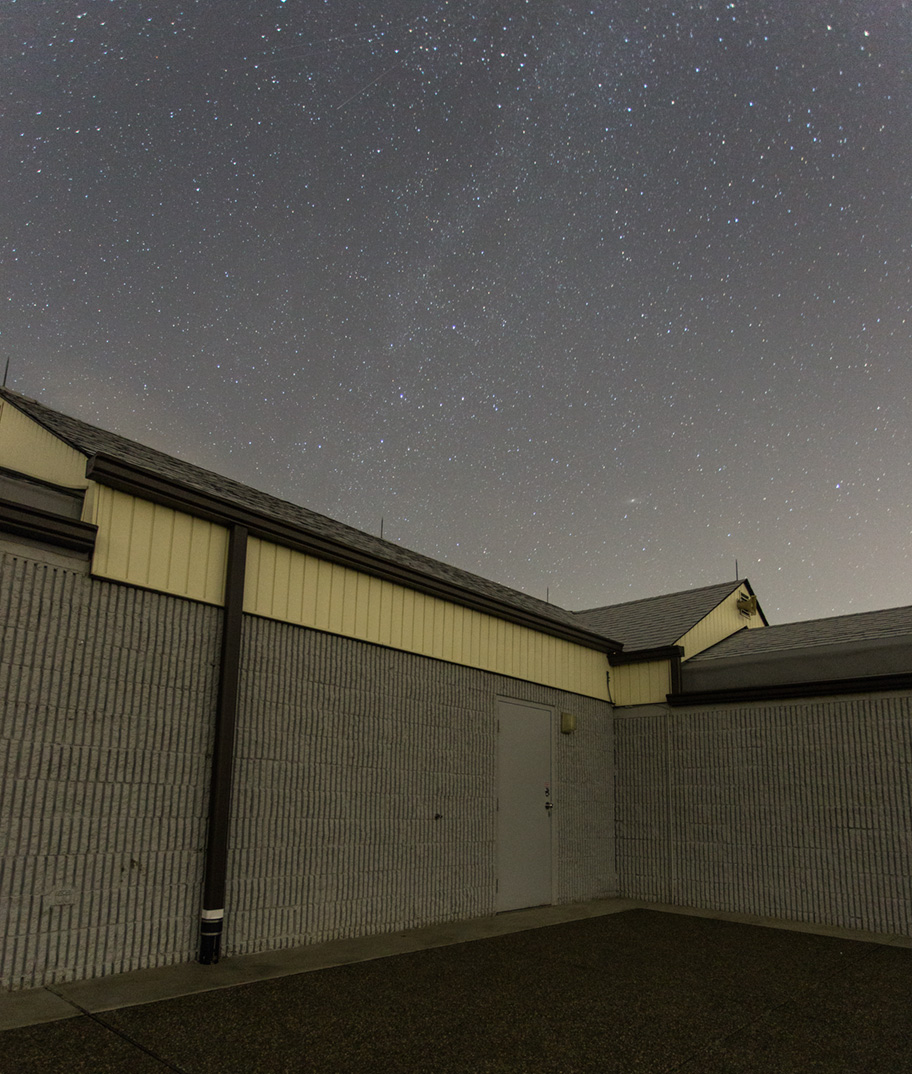
Thursday night at Wagman was one of the most transparent nights I’ve ever seen at Wagman. The MW was easily visible and dipping further into the south than usual. I took a few pictures around the observatory to try and show how nice the view was.
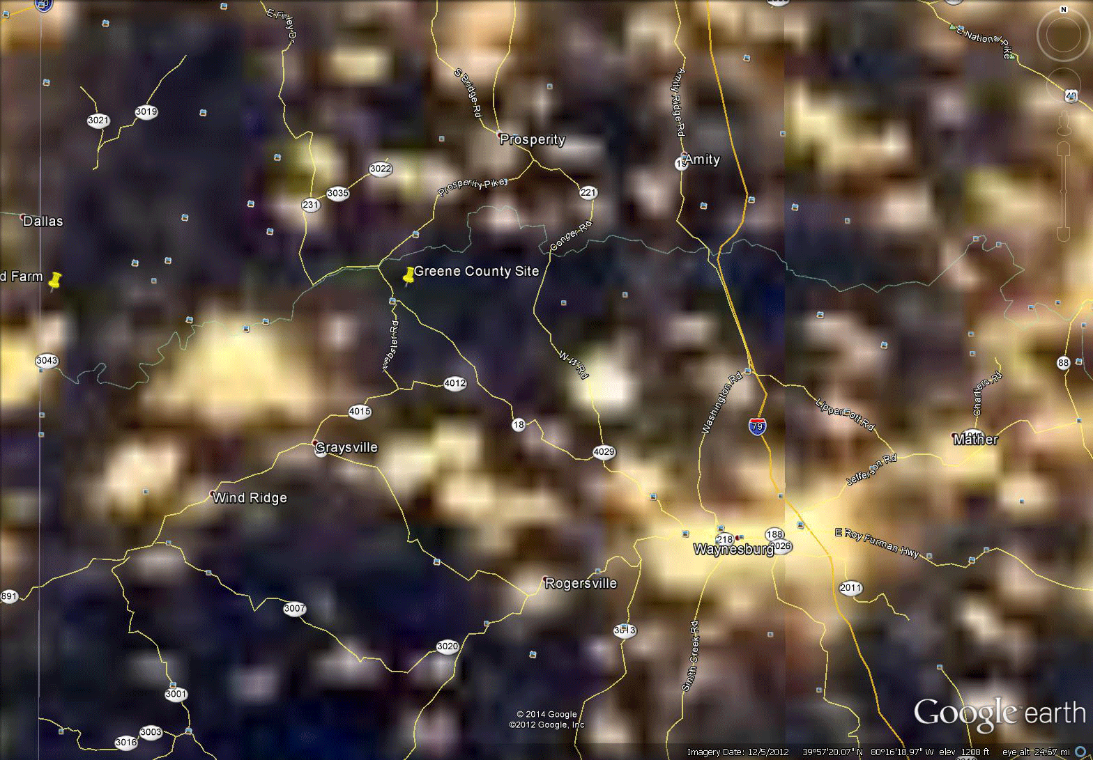
Development of our rural countryside is rapidly increasing due to emergent industries like oil and gas. A single industrial site is often lit up like a little town on the map making one wonder if residential, commercial, or industrial development is the true light pollution problem?
Click on the Images below for an animation comparing Light Pollution levels in 2003 to 2012.

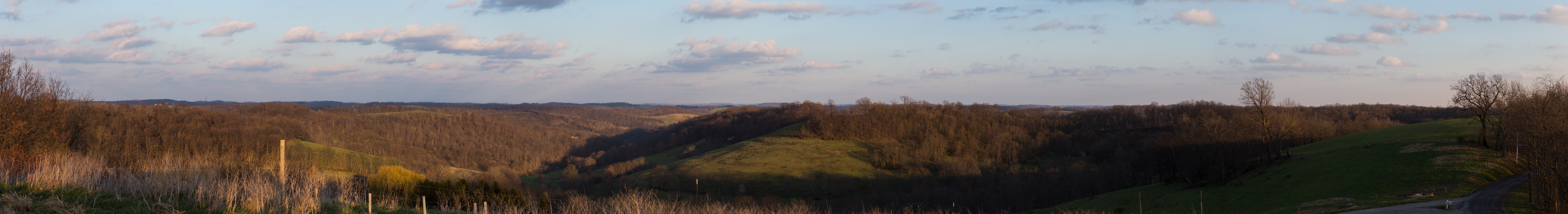
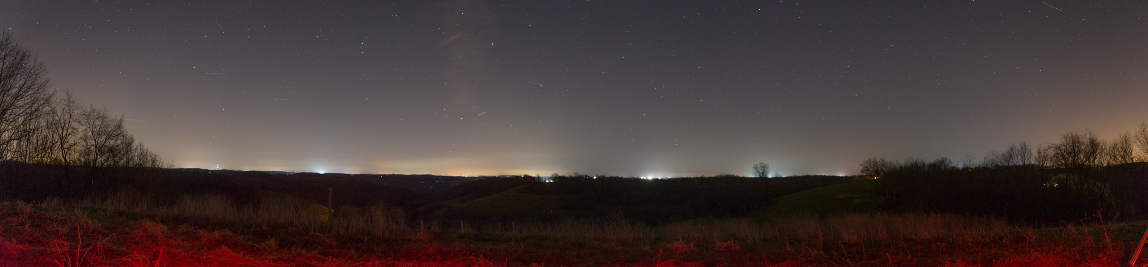
Two of us spent Wednesday night at the Greene County Observing Site. It had been almost 6 months since we’d been there last due to this years cold and snowy winter. As always the light pollution continues to grow everywhere so I took panoramic shots of the site in daylight and at night to show the current lights in the SE and S primarily. Unfortunately, I didn’t take them from the same spot or at the same focal length so they aren’t 100% comparable but they give you an idea.
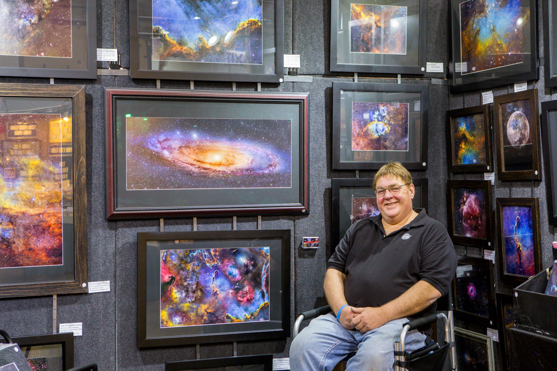
Being unemployed gives me a little more time to travel the countryside and give Bill Snyder a hand with his Astrophotography booth at some Art Festivals. The show ran Dec 13th-Dec 15th, thankfully indoors unlike the last show where we nearly froze to death. It’s a great opportunity to talk astronomy with the general public and get a snapshot of who is interested in astronomy.
Here are a few pictures of the King of Astrophotography, Bill Snyder. He forgot to pack his cape and crown 🙂